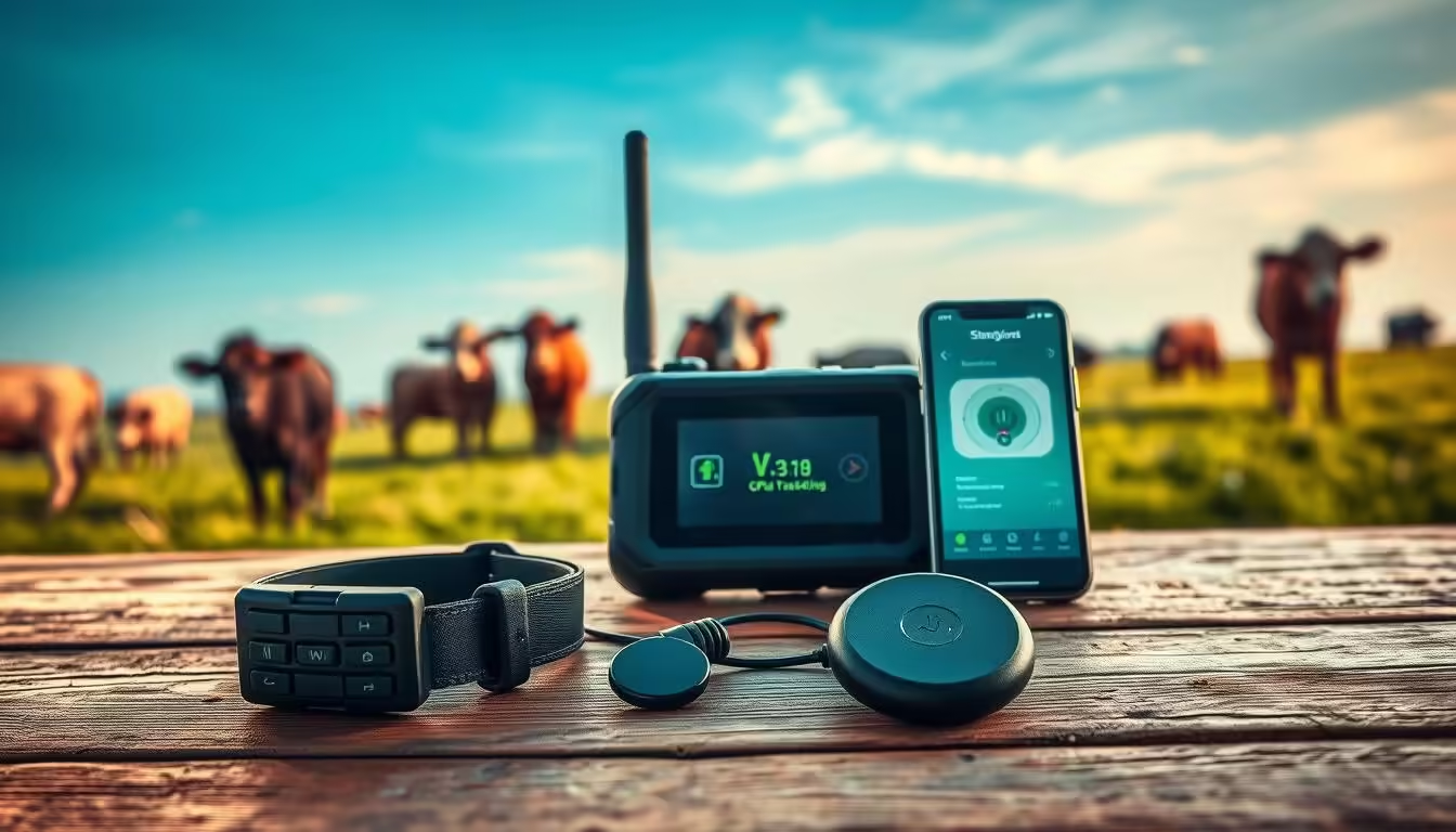

More than 30% of large Australian properties now use GPS devices to keep an eye on stock across remote paddocks. That shift is changing how producers check mobs after weather, muster smarter and cut time on routine yard calls.
Practical tools make the difference: small, rugged devices send clear location and movement data so a producer sees which animal is where, and if anything has stopped moving. Simple platforms turn raw positions into daily action points.
The product range covers ear tags through to heavy‑duty units, each designed for long battery life and easy fit in real farm workflows. Producers get better visibility, faster decisions and reduced loss of valuable assets when stock are in distant country.
Short checks on a phone or tablet replace long rides and guessing. The result is smarter management, less stress at mustering and clearer confidence that an animal’s welfare is being watched without constant hands‑on checks.
GPS tracking versus mandatory NLIS identification
GPS and satellite tags are optional management tools. Official traceability is a separate, mandatory system. Under Australia’s National Livestock Identification System (NLIS), cattle are identified and traced for biosecurity and food safety. Queensland Government NLIS requirements, for example, state that cattle must be fitted with an approved NLIS device when moving between properties with different PICs, and that movements must be reported to the NLIS database within 48 hours of the livestock arriving. The Australian Government’s NLIS Database Uplift Project is upgrading the national database that captures livestock movements to support lifetime traceability and responses to disease outbreaks or food safety incidents. A GPS tag does not replace an NLIS device.
Key Takeaways
- GPS and purpose‑built devices boost visibility across variable terrain.
- Devices save time on mustering and after extreme weather events.
- Good battery life and rugged design are vital for remote operations.
- Location and movement data turn into quick, practical actions.
- Asset tracking improves confidence when stock are in distant paddocks.
Real-time cattle tracking built for Australian conditions
Practical real‑time solutions give station managers near‑instant insight into animals and water points.
Visibility and quick decisions come from GPS tags and BLE ear tags that share location and movement data across the same network. BLE tags check in every 10 minutes when near a GPS tag or handheld scanner, cutting routine yard checks and saving time.
Water monitoring runs on the same system and does not need 3G/4G at troughs or tanks. Devices use Telstra 4G LTE‑M for wide rural connectivity and are housed in IP67 cases to handle dust, rain and heat.
Scalable for small paddocks to vast stations
The setup scales from small blocks to large stations with the same simple device mix for livestock and sheep. Battery‑powered gps options mean long battery life and fewer site visits.
“Location certainty after a storm saved us time and stress,” said a producer in Queensland.
| Feature | Benefit | Typical use |
|---|---|---|
| Telstra LTE‑M | Wide rural coverage | Property‑wide location data |
| BLE + GPS tags | Low‑power check‑ins | Yards, water points, drains |
| IP67 housing | Durable in harsh weather | Outback and coastal areas |
How our cattle tracking ecosystem works
Practical, layered technology gives producers both live fixes and low‑power check‑ins so animals stay visible without constant battery swaps.
GPS ear tags and BLE beacons: live location plus low‑power check‑ins
The core system pairs a live GPS ear tag with three BLE tags to cover four animals cost‑effectively. BLE beacons check in every ten minutes when they are near a GPS tag or a handheld scanner.
Solar direct‑to‑satellite tags for remote country
Where there are no towers, solar satellite tags keep location and behaviour data flowing. These devices include on‑device analytics for welfare and Pasture Feed Intake metrics and offer three years of satellite connectivity on CERES TAG products.
Telstra 4G LTE‑M for robust coverage
LTE‑M units deliver near‑real‑time gps tracking with phone and email alerts. AES‑256 cellular encryption and remote activation mean secure, fast setup and management across wide properties.
Cloud platform: history, movement and critical alerts
The cloud shows location history, movement trends and inactivity flags. Configurable geofences, Recovery Mode and asset tracking speed up response when exceptions occur.
| Device type | Key benefit | Typical uptime |
|---|---|---|
| GPS ear tag | Live location, long range | Months with movement‑based updates |
| BLE beacon | Low‑power, 10‑minute check‑ins | Years on one battery |
| Direct‑to‑satellite | Solar, on‑device analytics | 3 years satellite service |
Cattle tracking devices and bundles
Practical kits make rollout straightforward. Bundles combine GPS ear tags, BLE beacons, an antenna and a scanner so producers start monitoring without sourcing extras.
Entry bundles pair sets such as 7 GPS ear tags + 18 BLE tags with tag backs, an applicator and one year of connectivity. Options scale to 25, 100, 250 and 500 tags and can include solar kits for remote paddocks.
Battery-powered GPS options
ANYTRACK choices cover compact to long‑life units: GPS Mini runs 5+ years on 3 x AAA, GPS Pro delivers 10+ years on 3 x AA and Wi‑Fi Mini/Pro add AP scanning for tough GPS line‑of‑sight spots.
Solar direct-to-satellite ear tags
CERES TAG ear tags are solar powered and need no onsite infrastructure. They include three years of satellite connectivity and give behaviour insights across remote country.
| Bundle | Typical mix | Key benefit |
|---|---|---|
| Starter | 7 GPS + 18 BLE, antenna, scanner | Quick deploy with 1‑year connectivity |
| Scale | 100 tags with solar kit option | Match paddock layout and season plans |
| Remote | Direct‑to‑satellite CERES TAG | No towers; multi‑year service |
Practical detail: movement‑based reporting and sleep modes extend battery life. Packages are rugged, user‑serviceable and mix BLE, gps and satellite devices to balance cost, coverage and reporting cadence.
Features that matter on-farm
The system emphasises quick, actionable alerts and power-saving behaviour reports that suit busy station days.
Advanced geofences send out-of-property notifications the moment an animal crosses a boundary. Push alerts go to phone and email so teams can act early and avoid larger losses.
Health insights include inactivity detection and a stop-moving alert. Movement trends surface welfare issues fast and let managers prioritise care.
Water and theft protection
Water point sensors confirm stock access at troughs and tanks without 3G/4G on site. That saves a day of checking and reduces fuel use.
Recovery Mode switches devices to near-live gps tracking during theft events. This supports police work and protects the asset investment.
Device management and alerts
Tags sleep when idle and wake on movement to extend battery life years. Account controls let users set alert thresholds, adjust geofences and enrol new tags as mobs change.
| Feature | Benefit | Typical use |
|---|---|---|
| Geofence alerts | Immediate out-of-property notification | Boundary crossings |
| Inactivity & stop-moving | Early health flagging | Welfare monitoring |
| Water sensors | Confirm access without 3G/4G | Troughs and tanks |
Performance, durability, and coverage
Designed for deploy-once operation, the range focuses on long battery life and hands‑free reliability.
Battery life measured in years: ANYTRACK GPS Mini runs 5+ years on 3 x AAA cells and GPS Pro runs 10+ years on 3 x AA. Wi‑Fi Mini/Pro use cloud‑based fixes to reach up to 10 years of service. Sleep modes and movement‑based reports cut power use and reduce site visits.
Solar-powered options: CERES TAG offers direct‑to‑satellite, solar operation with three years of satellite connectivity and no onsite infrastructure or batteries to swap.
Rugged IP67 housings: Cases resist dust, high‑pressure wash, 1m submersion for 30 minutes and extreme temperatures. That keeps devices working through wet seasons and long mustering runs.
Australia-wide visibility
Telstra 4G LTE‑M delivers wide rural connectivity and is backed by global satellite for remote areas. Multi‑constellation GPS and Wi‑Fi‑assisted location keep data consistent across varied country.
- Deploy‑once battery performance reduces trips and labour.
- Solar tags remove batteries for years of operation.
- Durable housings protect the asset and cut downtime.
| Benefit | Typical result | Notes |
|---|---|---|
| Battery life years | 5+ to 10+ years | Model dependent; sleep modes extend service |
| Solar operation | Multi‑year, no batteries | Direct‑to‑satellite CERES TAG — 3 years service |
| Coverage | Australia-wide | Telstra LTE‑M + satellite for blind spots |
cattle tracking ROI, pricing, and support
Proven bundles bring hardware, connectivity and support together so producers see returns in months, not years.
Bundle value: tags, antennae, scanners, and connectivity included
Entry bundles include GPS ear tags, BLE tags, an antenna, a BLE scanner, tag backs with applicator and one year of connectivity. Solar kit options are available for remote paddocks.
That means a single purchase covers device, installation gear and the first year of service, reducing upfront complexity and time to go live.
Reduce labour, improve welfare, and cut losses
Producers report less weekly travel and faster intervention when a critical alert flags an issue. Fewer manual head counts free up time for other tasks.
Asset tracking and gps features help recover lost or stolen stock, with Recovery Mode providing near-live coordinates to speed response.
Local activation help and ongoing support
Australian providers offer rapid deployment, activation assistance and remote device management from NSW and WA offices.
Security uses AES-256 cellular encryption and devices carry a two-year warranty. Practical training and management tools simplify enrolment, geofences and reporting schedules.
| What’s included | Benefit | Notes |
|---|---|---|
| GPS ear tags + BLE tags | Immediate location & low‑power checks | Mix to suit herd and budget |
| Antenna + BLE scanner | Extend range and collection points | Speeds on-farm rollouts |
| 1-year connectivity + support | Fast activation & remote help | Solar option for no-tower areas |
Conclusion
A clear, layered solution pairs long‑life devices and selective connectivity to keep properties visible across even the most remote paddocks.
Practical gps and gps tracking choices — LTE‑M and satellite — give consistent coverage and simple activation. The platform brings each device role and data into one tracking system so managers see where stock are and act fast.
Rugged gear, batteries that last years and straightforward tools reduce downtime and cut routine checks. One alert can be the difference between a quick recovery and a costly loss.
Asset protection improves with geofences and timely alerts. Compare tracking devices cattle mixes to match coverage, battery life and budget for your property.
Next step: pick the device mix that suits your paddocks, activate connectivity and let the system work in the background to save time, boost welfare and protect assets.
FAQ
What types of livestock location devices are available?
The system offers GPS ear tags, Bluetooth Low Energy (BLE) tags for low‑power check‑ins, direct‑to‑satellite tags for remote paddocks, and battery‑powered GPS trackers (Mini, Pro and WiFi variants). Bundles often include an antenna, scanner and connectivity plan so producers can match tech to terrain and herd size.
How does direct‑to‑satellite connectivity differ from LTE‑M?
Direct‑to‑satellite tags send location data via satellite where there’s no cell service, making them ideal for isolated stations. LTE‑M runs over Telstra’s 4G network and gives frequent, low‑power updates across most populated and regional areas — faster data flow and lower latency where coverage exists.
How long do device batteries typically last?
Many tags are engineered for multi‑year battery life under normal duty cycles. Some models use replaceable long‑life cells while solar‑powered variants reduce or eliminate the need for battery swaps, depending on sunlight exposure and reporting frequency.
Will the hardware stand up to Australian conditions?
Yes. Devices come in rugged IP67 housings rated for dust, water and temperature swings common in Australia. Antennae and scanners are built for farm environments and the direct‑to‑satellite and LTE‑M options ensure visibility across varied landscapes.
Can the system spot health or welfare issues?
The platform provides behaviour insights such as inactivity detection, stop‑moving alerts and movement trends. These alerts help identify sick or injured animals early so producers can act before problems escalate.
How does geofencing and theft protection work?
Producers set virtual boundaries on the cloud platform. If an animal crosses a fence or a tag reports abnormal movement, the system sends critical alerts to phone or email. Recovery Mode and near‑live tracking improve chances of retrieving stolen stock or strays.
What coverage can producers expect across Australia?
Coverage combines Telstra LTE‑M for wide regional reach and satellite for true off‑grid visibility. That mix delivers Australia‑wide tracking where towers exist and reliable reporting where they don’t.
How scalable are the solutions for different herd sizes?
Packages are modular — from small paddock setups to station‑scale deployments. Customisable bundles let producers add tags, scanners and connectivity as herds grow, and cloud management keeps device fleets simple to oversee.
What do bundles usually include and how is pricing structured?
Bundles typically include tags, antennae or scanners and an initial connectivity plan. Pricing reflects hardware, subscription level and support. The focus is on return‑on‑investment through reduced labour, better welfare outcomes and fewer losses.
How fast is setup and activation on the farm?
Many systems are designed for rapid deployment. Local activation support and clear device management tools let producers turn on tags, link them to the cloud platform and start receiving location and alert data within hours.
Can water points be monitored without 3G/4G at troughs?
Yes. BLE and satellite options enable water‑point monitoring without local 3G/4G. Tags and gateway devices can record visits and relay data when a receiver or satellite link is available, so managers know watering behaviour across remote troughs and tanks.
How are critical alerts delivered and can they be customised?
Alerts are sent by push notification, SMS or email and can be customised for geofence breaches, prolonged inactivity, low battery and other triggers. Settings let farms route alarms to designated staff or external managers.
What maintenance do devices require on the station?
Maintenance is minimal for long‑life and solar devices: occasional visual checks, battery replacements when prompted, and firmware updates via the cloud. Regular scanner and antenna inspections help maintain reliable data flow.
Are devices interoperable with farm management systems?
Most modern platforms provide APIs or data export options so location and behaviour data can feed existing livestock management software, mapping tools or reporting systems used on the property.
What support is available after purchase?
Vendors typically offer local activation help, rapid deployment assistance and ongoing technical support. Training, troubleshooting and replacement options are part of many subscription plans to keep operations moving.
More on this topic: Beef Cattle Farming in Australia, the complete guide.
Sources and further reading
- Integrity Systems Company – National Livestock Identification System
- Business Queensland – Livestock owners and the NLIS
- Department of Agriculture, Fisheries and Forestry – NLIS Database Uplift Project